Technical Categories
AI ethics
AI services
Automated reasoning
Computer vision
Connected and automated vehicles
Machine learning
Optimisation
Planning and scheduling
Robotics and automation
Searching
Business Category
Cloud, Edge and Infrastructure
Earth Observation
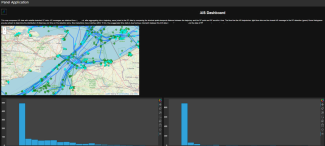
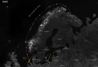
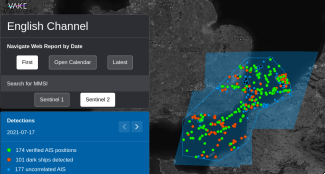
Maritime Sector
Public Services
Telecommunications
Organisation type
Company
North Sea Aviation Services